WHERE IS DABNEY'S PLOT
TODAY? (CONT.)
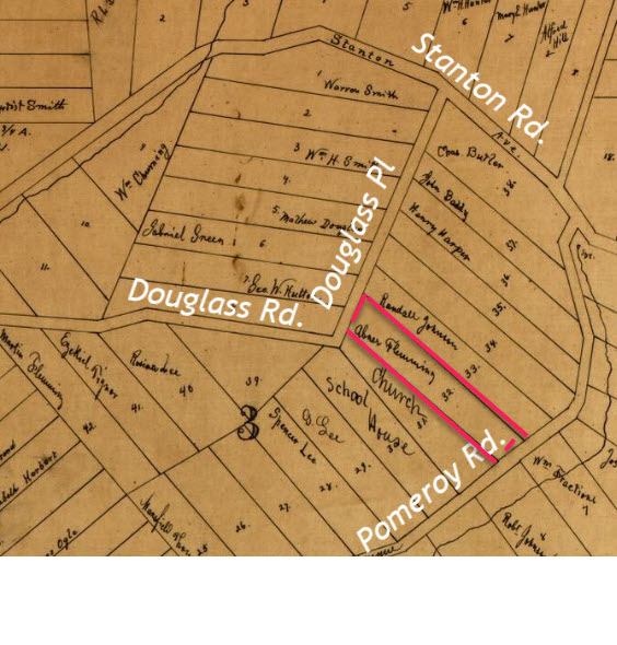
Ok. There it is, bounded by Douglass Pl. on the north and Pomeroy Rd. to the south.
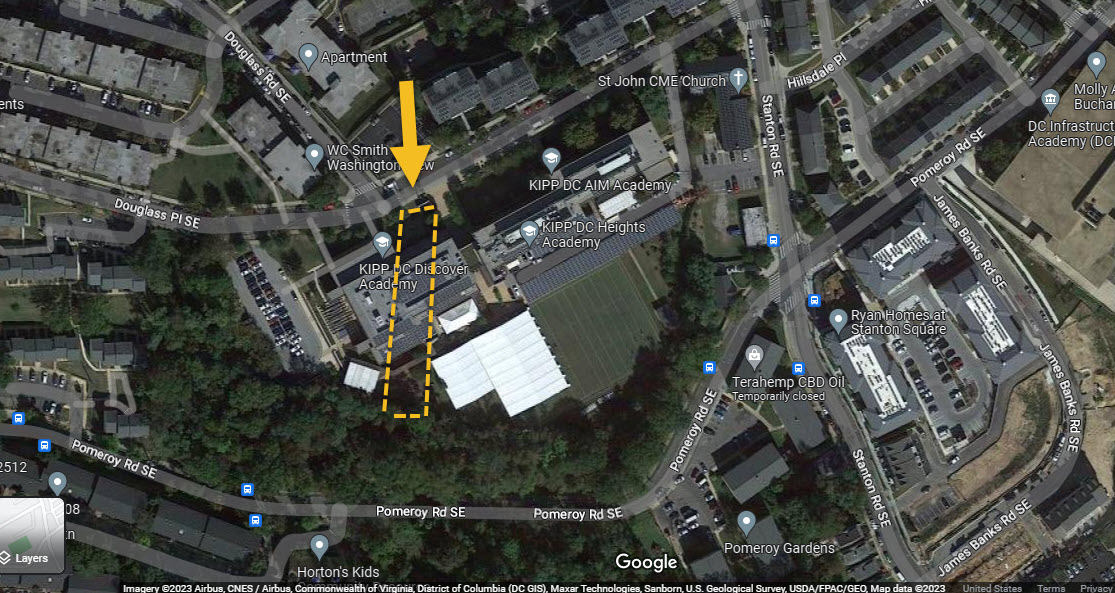
Yeah, but let's really "go" there! Ok, no problem. Man! What did we do before Google? Oh yeah. We used maps from the ESSO gas station. Ok, back to the subject. Below are recent aerial shots of the location depicted on the map above. Dabney's former plot is outlined. Remember also that Randall's plot would be immediately beside Dabney's. In the top picture Dabney's plot is outlined in red. In the bottom picture it is outlined in yellow.
i WANT MY LAND BACK.
What we now know is that Dabney's property along with Randall Johnson's property (who was his near and dear neighbor, life-long buddy and kin-by-marriage) are now occupied by KIPP DC Discover Academy, a DC Charter school. It is situated on a slight hill. We shall see later that this
precipice
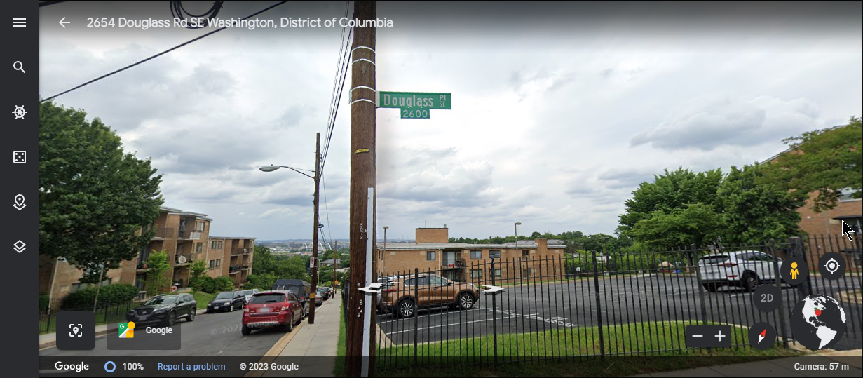
/ area in Dabney's day was known as "Mt. Zion". More on that later! Street level shots are below.
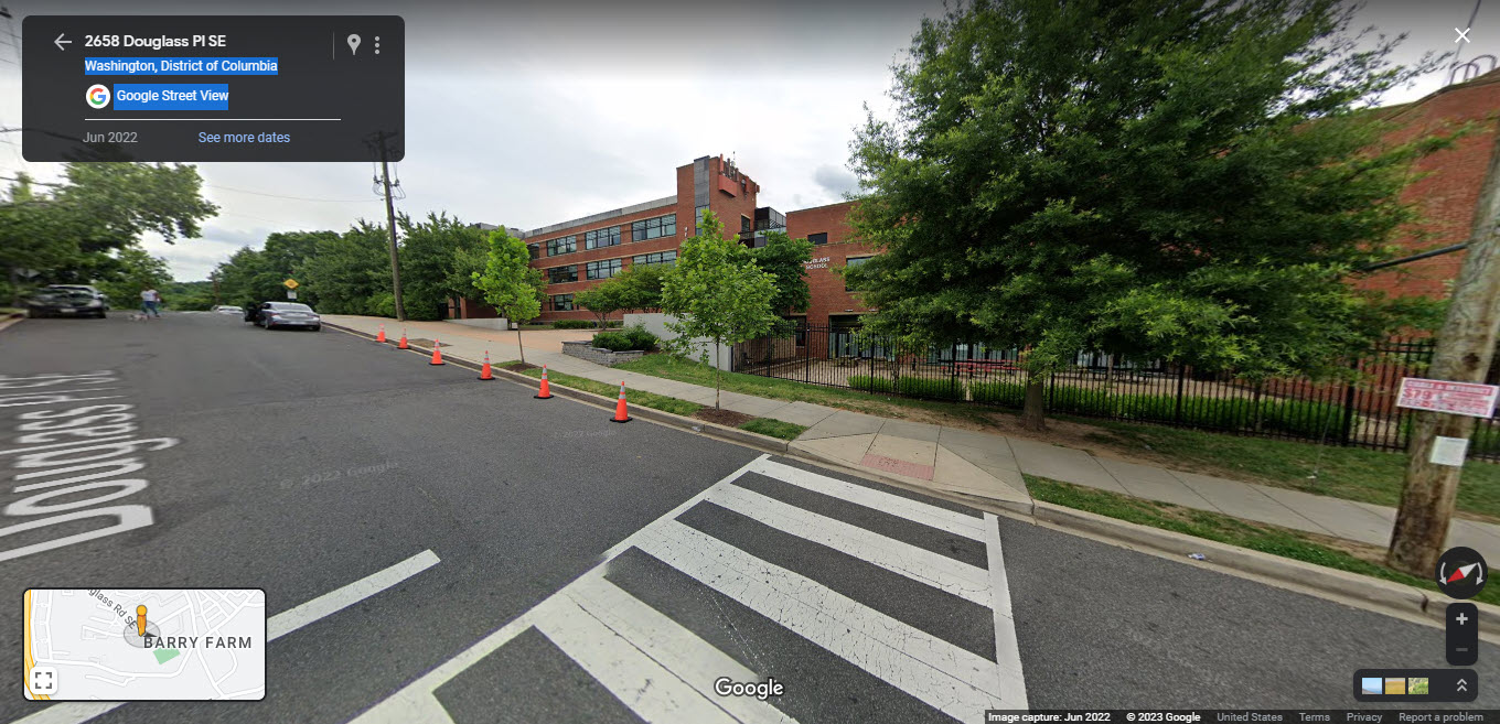
If you stand in front of the school and look back across the street, the view would look as below. This would be looking north, northwest. Careful examination shows the new Fredrick Douglass Memorial Bridge far in the background. How about that?!.
 next
previous
next
previous
Page 5
I WANT MY LAND BACK.